

Back to listing
Russell Island Loop
Expand All
Description
Multiple access points, visit the website for an interactive map and locations.
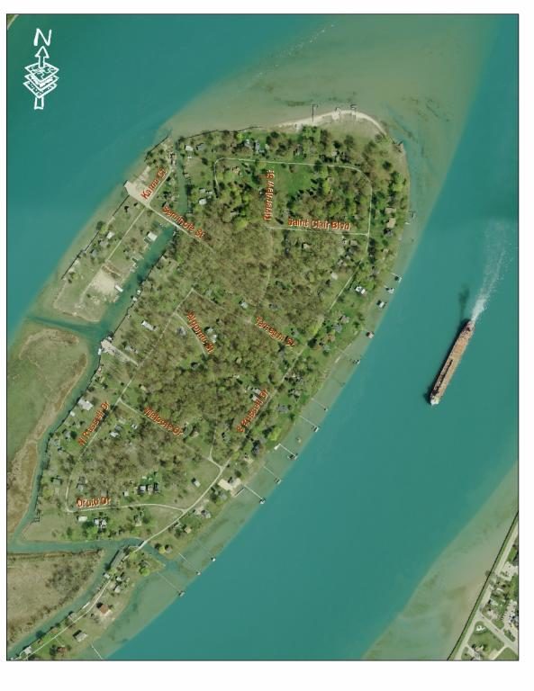
Begin at the North Channel DNR Boating Access Site in Clay Township. From there, the water trail crosses the North Channel and through the Grande Pointe Cut to the east side of Russell Island. Then, the water trail travels north along the St. Clair River, before it cuts back into another channel on Russell Island and then back to the North Channel DNR Boating Access Site.
Note: Water Trail can be difficult due to strong currents, and recreational boating and freighter traffic. Between the U.S. and Canada.
4.3 Miles Round Trip
Russell Island (Clay Township)
Intermediate
We would like to lookup your present location so we can provide accurate directions.
Your browser may ask for your permission to determine your location (possibly at the top of this page).
If you agree, we will use your current location as the starting point for directions. If you don't agree, you may enter a starting location when the map is displayed.


